 |
||||
|
|
|
|||
 |
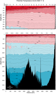
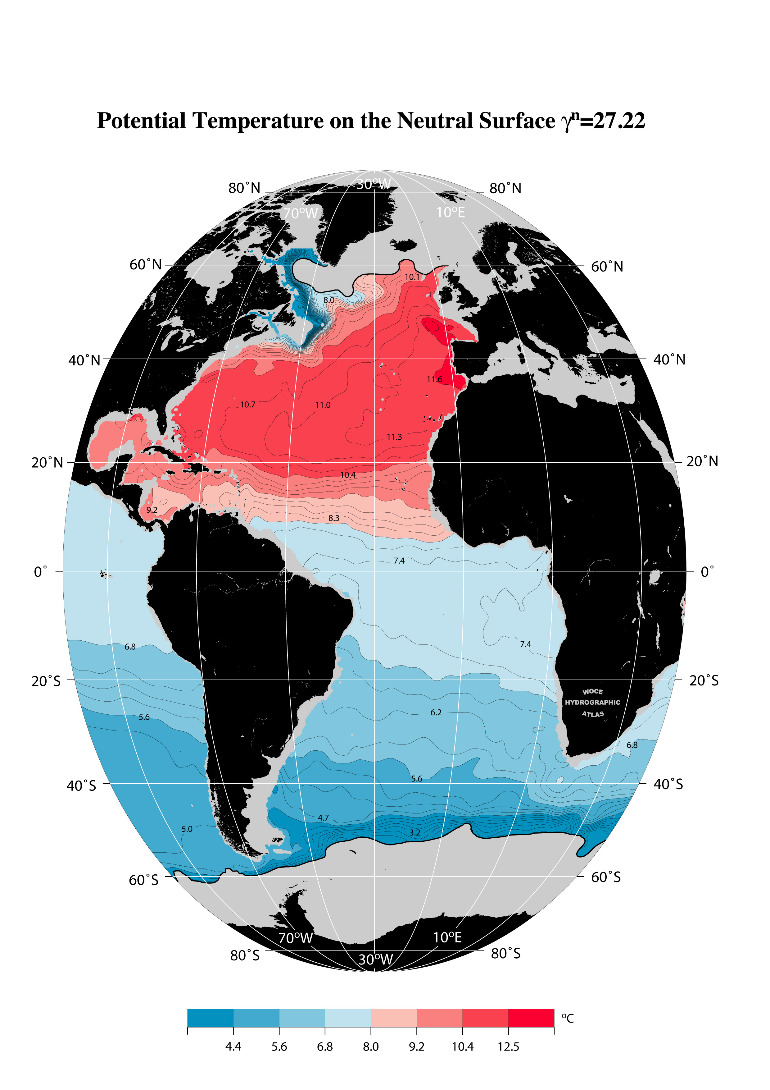
Welcome to WOCE Atlas Volume 3: Atlantic OceanDOI (link to this webpage): https://doi.org/10.21976/C6RP4ZeScholarship Permalink (pdf of print atlas): http://escholarship.org/uc/item/66z7j1xdThe Hydrographic Programme of the World Ocean Circulation Experiment (WOCE) was a comprehensive global hydrographic survey of physical and chemical properties, of unprecedented scope and quality, and represents the "state of the oceans" during the 1990s. The "Printed Atlas" is a copy of the published volume and contains full introductory text. The "Digital Atlas" presents the same graphical material, with additional properties and levels, ancillary data sets, and bibliographic material for each of the vertical sections. Click on the map to the left for an expanded view. |
|||||
Printed Atlas |
Digital Atlas |
Links |
||||
Contains
|
Contains all printed atlas plots and related information
|
Other WHP Atlases | ||||
|
Graphical images are provided as .pdf and .jpg files that can be used in the preparation of written publications, web sites and electronic presentations.
The source of the images should be acknowledged as "From the WOCE Atlantic Ocean Atlas". Full citation information: Koltermann, K.P., V.V. Gouretski and K. Jancke. Hydrographic Atlas of the World Ocean Circulation Experiment (WOCE). Volume 3: Atlantic Ocean (eds. M. Sparrow, P. Chapman and J. Gould). International WOCE Project Office, Southampton, UK, ISBN 090417557X. 2011 |
||||||
 |
| Sponsored by the World Climate Research Programme Publication funded by the Federal Ministry of Education and Research and BP |
| © 2011 International WOCE Office |